QUANCH HILLS
(2017 - Ongoing)
Quanch Hills is lies within the Fire Island National Seashore, a federally designated Wilderness Area on the eastern end of Fire Island. This narrow, 32 mile long barrier island is off of Long Island, which itself stretches 120 miles eastward from New York City.
In 1938 the powerful urban planner Robert Moses, responsible for shaping most of the highway system of New York City and Long Island as it is today, proposed building a highway running the length of Fire Island. It wasn't until 1964 that community opposition finally succeeded in blocking his proposal. Thanks to their efforts the Wilderness Area was created, so that today, instead of a highway, we still have the island's unique topography — a delicately balanced ecosystem of dunes, woods, and wetlands, now rendered all the more fragile by global warming.
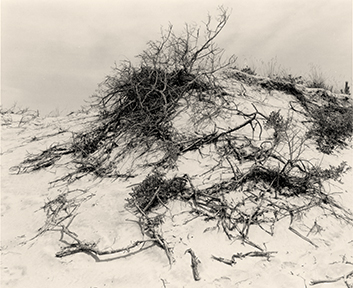
2017. Gelatin silver print. 5 1/2 x 6 3/4 inches. Edition of 5.
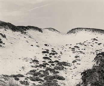
2017. Gelatin silver print. 5 1/2 x 6 3/4 inches. Edition of 5.
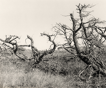
2019. Gelatin silver print. 5 1/2 x 6 3/4 inches. Edition of 5.
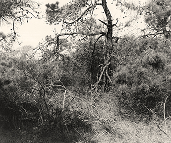
2019. Gelatin silver print. 5 1/2 x 6 3/4 inches. Edition of 5.

2017. Gelatin silver print. 5 1/2 x 5 1/2 inches. Edition of 5.
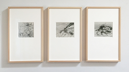
Framed each 8-ply mat, 20 x 12 inches.